


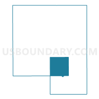
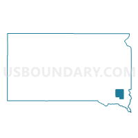
VTD-precinct 6, Turner County, South Dakota
About
Outline

Summary
| Unique Area Identifier | 667820 |
| Name | VTD-precinct 6 |
| County | Turner County |
| State | South Dakota |
| Area (square miles) | 36.04 |
| Land Area (square miles) | 35.76 |
| Water Area (square miles) | 0.27 |
| % of Land Area | 99.24 |
| % of Water Area | 0.76 |
| Latitude of the Internal Point | 43.20617280 |
| Longtitude of the Internal Point | -97.09210260 |
Maps

Graphs
Select a template below for downloading or customizing gragh for VTD-precinct 6, Turner County, South Dakota


Neighbors
Neighoring Voting District (by Name) Neighboring Voting District on the Map
- VTD-precinct 14, Yankton County, SD
- VTD-precinct 4, Turner County, SD
- VTD-precinct 5, Turner County, SD
- VTD-precinct 7, Turner County, SD
- VTD-precinct 8, Turner County, SD
Top 10 Neighboring County Subdivision (by Population) Neighboring County Subdivision on the Map
- Viborg city, Turner County, SD (782)
- Middleton township, Turner County, SD (238)
- Swan Lake township, Turner County, SD (209)
- Daneville township, Turner County, SD (207)
- Spring Valley township, Turner County, SD (193)
- Norway township, Turner County, SD (184)
- Turkey Valley township, Yankton County, SD (179)
- Turner township, Turner County, SD (177)
- Hurley township, Turner County, SD (169)
- Centerville township, Turner County, SD (158)
Top 10 Neighboring Place (by Population) Neighboring Place on the Map
Top 10 Neighboring Unified School District (by Population) Neighboring Unified School District on the Map
- Irene-Wakonda School District 13-3, SD (2,024)
- Centerville School District 60-1, SD (1,510)
- Viborg School District 60-5, SD (1,419)
- Hurley School District 60-2, SD (946)